Southeast end of Poplars Road, Mardy
Introduction
The photograph on this page of Southeast end of Poplars Road, Mardy by Jaggery as part of the Geograph project.
The Geograph project started in 2005 with the aim of publishing, organising and preserving representative images for every square kilometre of Great Britain, Ireland and the Isle of Man.

There are currently over 7.5m images from over 14,400 individuals and you can help contribute to the project by visiting https://www.geograph.org.uk
Southeast end of Poplars Road, Mardy
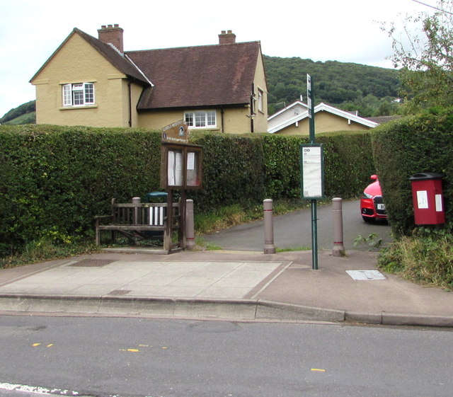
Image: © Jaggery Taken: 7 Aug 2017
Viewed across Hereford Road. Metal posts block the passage of vehicles wider than a motorbike. Also in view are a bench, noticeboard, bus stop sign & timetable and a red bin for dog waste.
Images are licensed for reuse under creativecommons.org/licenses/by-sa/2.0
Image Location


Leaflet Map data © OpenStreetMap
Latitude
51.837056
Longitude
-3.004152