A30 approaching East Chinnock
Introduction
The photograph on this page of A30 approaching East Chinnock by Derek Harper as part of the Geograph project.
The Geograph project started in 2005 with the aim of publishing, organising and preserving representative images for every square kilometre of Great Britain, Ireland and the Isle of Man.

There are currently over 7.5m images from over 14,400 individuals and you can help contribute to the project by visiting https://www.geograph.org.uk
A30 approaching East Chinnock
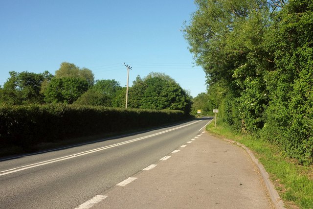
Image: © Derek Harper Taken: 26 May 2017
Along the main road is the village name sign. Before then the road crosses Chinnock Brook.
Images are licensed for reuse under creativecommons.org/licenses/by-sa/2.0
Image Location
Latitude
50.911974
Longitude
-2.723094