Dyehouse Bridge
Introduction
The photograph on this page of Dyehouse Bridge by Oliver Dixon as part of the Geograph project.
The Geograph project started in 2005 with the aim of publishing, organising and preserving representative images for every square kilometre of Great Britain, Ireland and the Isle of Man.

There are currently over 7.5m images from over 14,400 individuals and you can help contribute to the project by visiting https://www.geograph.org.uk
Dyehouse Bridge
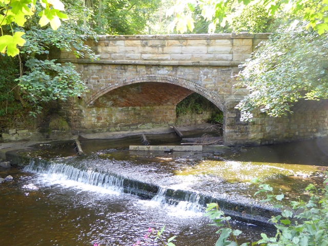
Image: © Oliver Dixon Taken: 6 Aug 2017
Looking upstream on the Rowley Burn. The baffles in the river bed underneath the bridge are probably a form of fish ladder.
Images are licensed for reuse under creativecommons.org/licenses/by-sa/2.0
Image Location
Latitude
54.921513
Longitude
-2.099665