Acton crossrail diveunder, view East 2017
Introduction
The photograph on this page of Acton crossrail diveunder, view East 2017 by David Hawgood as part of the Geograph project.
The Geograph project started in 2005 with the aim of publishing, organising and preserving representative images for every square kilometre of Great Britain, Ireland and the Isle of Man.

There are currently over 7.5m images from over 14,400 individuals and you can help contribute to the project by visiting https://www.geograph.org.uk
Acton crossrail diveunder, view East 2017
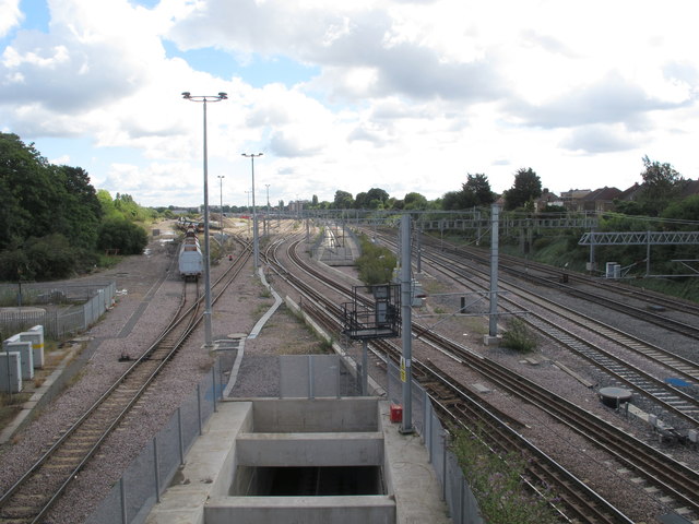
Image: © David Hawgood Taken: 30 Jul 2017
Same view as Image from 2017. The diveunder and railway lines look complete, probably some power and signalling to be completed.
Images are licensed for reuse under creativecommons.org/licenses/by-sa/2.0
Image Location
Latitude
51.515152
Longitude
-0.281822