Langbury Lane, Ferring
Introduction
The photograph on this page of Langbury Lane, Ferring by Simon Carey as part of the Geograph project.
The Geograph project started in 2005 with the aim of publishing, organising and preserving representative images for every square kilometre of Great Britain, Ireland and the Isle of Man.

There are currently over 7.5m images from over 14,400 individuals and you can help contribute to the project by visiting https://www.geograph.org.uk
Langbury Lane, Ferring
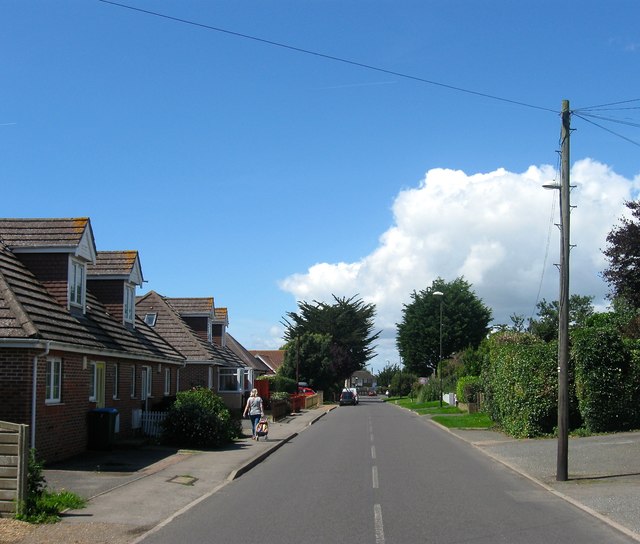
Image: © Simon Carey Taken: 6 Aug 2017
An old route out of Ferring connecting it with Hangleton and Highdown Hill. This section was rerouted and straightened when the railway to the south was built.
Images are licensed for reuse under creativecommons.org/licenses/by-sa/2.0
Image Location
Latitude
50.816957
Longitude
-0.449391