Kilham Way, Ferring
Introduction
The photograph on this page of Kilham Way, Ferring by Simon Carey as part of the Geograph project.
The Geograph project started in 2005 with the aim of publishing, organising and preserving representative images for every square kilometre of Great Britain, Ireland and the Isle of Man.

There are currently over 7.5m images from over 14,400 individuals and you can help contribute to the project by visiting https://www.geograph.org.uk
Kilham Way, Ferring
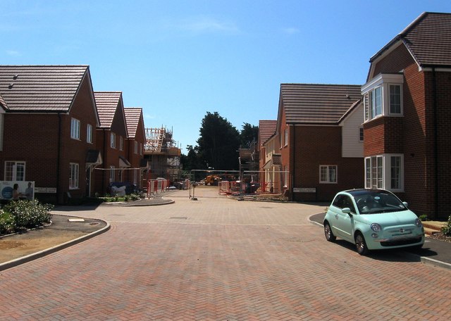
Image: © Simon Carey Taken: 6 Aug 2017
New development started in 2017 and scheduled to be completed in 2018. Originally a field called The Eight Acres according to Ferring's 1837 tithe map.
Images are licensed for reuse under creativecommons.org/licenses/by-sa/2.0
Image Location
Latitude
50.819107
Longitude
-0.455567