Beggar's Lane, near Poynings
Introduction
The photograph on this page of Beggar's Lane, near Poynings by Simon Carey as part of the Geograph project.
The Geograph project started in 2005 with the aim of publishing, organising and preserving representative images for every square kilometre of Great Britain, Ireland and the Isle of Man.

There are currently over 7.5m images from over 14,400 individuals and you can help contribute to the project by visiting https://www.geograph.org.uk
Beggar's Lane, near Poynings
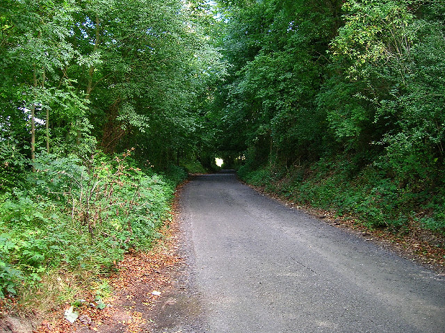
Image: © Simon Carey Taken: 18 Sep 2005
The lane skirts the west slope of Newtimber Hill. This view looks north and just beyond the light at the end of the tunnel of trees is the junction with the A281.
Images are licensed for reuse under creativecommons.org/licenses/by-sa/2.0
Image Location
Latitude
50.899886
Longitude
-0.199612