Blagdon Fire Station
Introduction
The photograph on this page of Blagdon Fire Station by Neil Owen as part of the Geograph project.
The Geograph project started in 2005 with the aim of publishing, organising and preserving representative images for every square kilometre of Great Britain, Ireland and the Isle of Man.

There are currently over 7.5m images from over 14,400 individuals and you can help contribute to the project by visiting https://www.geograph.org.uk
Blagdon Fire Station
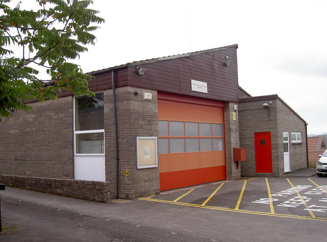
Image: © Neil Owen Taken: 7 Aug 2017
Blagdon has an earlier station a little further up High Street, but this more modern facility opened in 1971. The Retained Duty System operates here and the team covers an area of 59 square kilometres.
Images are licensed for reuse under creativecommons.org/licenses/by-sa/2.0
Image Location
Latitude
51.329516
Longitude
-2.717588