Arable field north of Broomhaugh
Introduction
The photograph on this page of Arable field north of Broomhaugh by Graham Robson as part of the Geograph project.
The Geograph project started in 2005 with the aim of publishing, organising and preserving representative images for every square kilometre of Great Britain, Ireland and the Isle of Man.

There are currently over 7.5m images from over 14,400 individuals and you can help contribute to the project by visiting https://www.geograph.org.uk
Arable field north of Broomhaugh
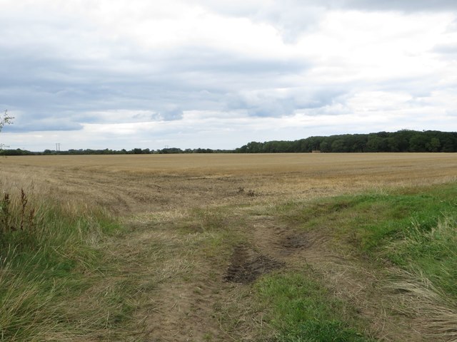
Image: © Graham Robson Taken: 6 Aug 2017
A recently harvested arable field to the north of Broomhaugh. Until recently a crop of barley was growing on the land.
Images are licensed for reuse under creativecommons.org/licenses/by-sa/2.0
Image Location
Latitude
55.210298
Longitude
-1.644508