Durris School
Introduction
The photograph on this page of Durris School by Bill Harrison as part of the Geograph project.
The Geograph project started in 2005 with the aim of publishing, organising and preserving representative images for every square kilometre of Great Britain, Ireland and the Isle of Man.

There are currently over 7.5m images from over 14,400 individuals and you can help contribute to the project by visiting https://www.geograph.org.uk
Durris School
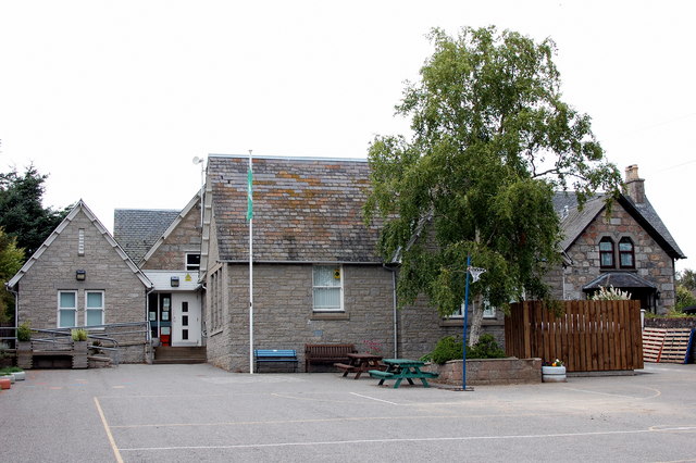
Image: © Bill Harrison Taken: 6 Aug 2017
Actually in the hamlet of Woodlands and formerly called Woodlands School, but renamed when Woodlands and Crossroads Primary Schools were merged in 2000. School roll in 2016-17: 41 pupils in two classes.
Images are licensed for reuse under creativecommons.org/licenses/by-sa/2.0
Image Location
Latitude
57.052864
Longitude
-2.349946