Bridleway between arable fields
Introduction
The photograph on this page of Bridleway between arable fields by Graham Robson as part of the Geograph project.
The Geograph project started in 2005 with the aim of publishing, organising and preserving representative images for every square kilometre of Great Britain, Ireland and the Isle of Man.

There are currently over 7.5m images from over 14,400 individuals and you can help contribute to the project by visiting https://www.geograph.org.uk
Bridleway between arable fields
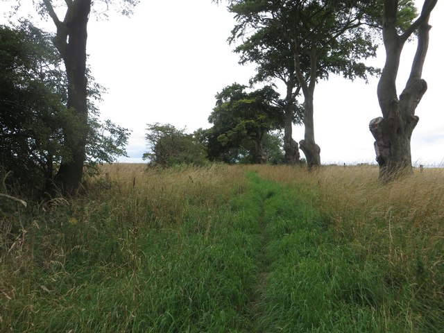
Image: © Graham Robson Taken: 6 Aug 2017
Following a bridleway between arable fields to the north east of Broomhaugh.
Images are licensed for reuse under creativecommons.org/licenses/by-sa/2.0
Image Location
Latitude
55.209836
Longitude
-1.639955