Public area on the west side of Hereford Road, Mardy
Introduction
The photograph on this page of Public area on the west side of Hereford Road, Mardy by Jaggery as part of the Geograph project.
The Geograph project started in 2005 with the aim of publishing, organising and preserving representative images for every square kilometre of Great Britain, Ireland and the Isle of Man.

There are currently over 7.5m images from over 14,400 individuals and you can help contribute to the project by visiting https://www.geograph.org.uk
Public area on the west side of Hereford Road, Mardy
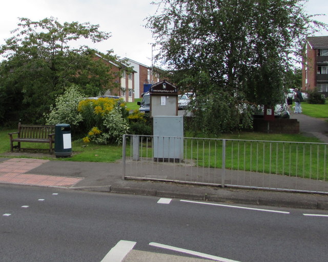
Image: © Jaggery Taken: 7 Aug 2017
Items in view include a bench, litter bin and Llantilio Pertholey Community Council noticeboard. St David's Road is behind the trees, bushes and low wall.
Images are licensed for reuse under creativecommons.org/licenses/by-sa/2.0
Image Location
Latitude
51.833708
Longitude
-3.006544