South along St Francis Close, Mardy
Introduction
The photograph on this page of South along St Francis Close, Mardy by Jaggery as part of the Geograph project.
The Geograph project started in 2005 with the aim of publishing, organising and preserving representative images for every square kilometre of Great Britain, Ireland and the Isle of Man.

There are currently over 7.5m images from over 14,400 individuals and you can help contribute to the project by visiting https://www.geograph.org.uk
South along St Francis Close, Mardy
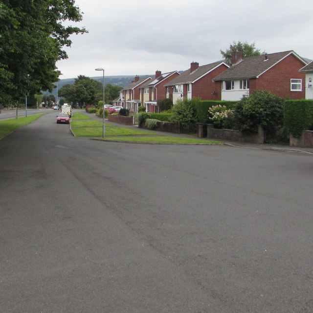
Image: © Jaggery Taken: 7 Aug 2017
Looking towards the St Teilo's Road junction 220 metres from the camera. Hereford Road is behind the trees and grass on the left.
Images are licensed for reuse under creativecommons.org/licenses/by-sa/2.0
Image Location
Latitude
51.831537
Longitude
-3.008092