Whatlington village hall by Whatlington Road
Introduction
The photograph on this page of Whatlington village hall by Whatlington Road by Patrick Roper as part of the Geograph project.
The Geograph project started in 2005 with the aim of publishing, organising and preserving representative images for every square kilometre of Great Britain, Ireland and the Isle of Man.

There are currently over 7.5m images from over 14,400 individuals and you can help contribute to the project by visiting https://www.geograph.org.uk
Whatlington village hall by Whatlington Road
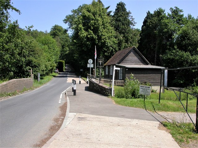
Image: © Patrick Roper Taken: 29 Jun 2006
The road crosses the river Line just before the hall (see bridge on left of picture). The road joins the A21 just under a kilometre beyond this point
Images are licensed for reuse under creativecommons.org/licenses/by-sa/2.0
Image Location
Latitude
50.93831
Longitude
0.506169