Cissbury Road, Ferring
Introduction
The photograph on this page of Cissbury Road, Ferring by Simon Carey as part of the Geograph project.
The Geograph project started in 2005 with the aim of publishing, organising and preserving representative images for every square kilometre of Great Britain, Ireland and the Isle of Man.

There are currently over 7.5m images from over 14,400 individuals and you can help contribute to the project by visiting https://www.geograph.org.uk
Cissbury Road, Ferring
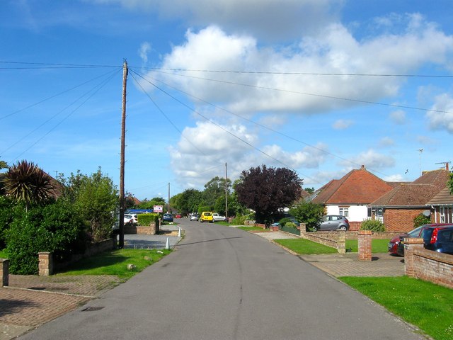
Image: © Simon Carey Taken: 6 Aug 2017
A residential road that connects Highdown Way to Downsview Avenue that was built in the late 1950s with this section covering two former fields called Cornered Croft and Langbury Croft according to Ferring's 1837 tithe map.
Images are licensed for reuse under creativecommons.org/licenses/by-sa/2.0
Image Location
Latitude
50.817948
Longitude
-0.449501