Public Footpath 2114, Ferring
Introduction
The photograph on this page of Public Footpath 2114, Ferring by Simon Carey as part of the Geograph project.
The Geograph project started in 2005 with the aim of publishing, organising and preserving representative images for every square kilometre of Great Britain, Ireland and the Isle of Man.

There are currently over 7.5m images from over 14,400 individuals and you can help contribute to the project by visiting https://www.geograph.org.uk
Public Footpath 2114, Ferring
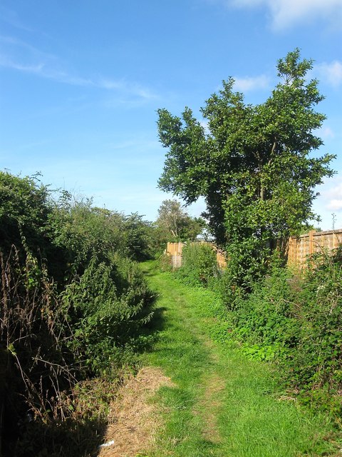
Image: © Simon Carey Taken: 6 Aug 2017
Linking Meadow Way to the Ferring Country Centre. Beyond the fence to the right is Onslow Caravan Park.
Images are licensed for reuse under creativecommons.org/licenses/by-sa/2.0
Image Location
Latitude
50.815641
Longitude
-0.451848