Mowed Mead
Introduction
The photograph on this page of Mowed Mead by Simon Carey as part of the Geograph project.
The Geograph project started in 2005 with the aim of publishing, organising and preserving representative images for every square kilometre of Great Britain, Ireland and the Isle of Man.

There are currently over 7.5m images from over 14,400 individuals and you can help contribute to the project by visiting https://www.geograph.org.uk
Mowed Mead
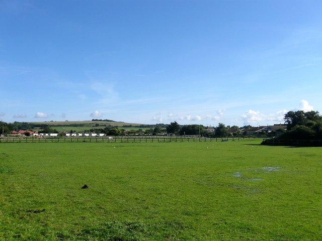
Image: © Simon Carey Taken: 6 Aug 2017
The name of the field according to Ferring's 1837 tithe map that is currently located between Ferring Rife to the west and the urbanised settlement of ferring to the east. Highdown Hill provides the backdrop.
Images are licensed for reuse under creativecommons.org/licenses/by-sa/2.0
Image Location
Latitude
50.813699
Longitude
-0.45461