Ferringham Lane, Ferring
Introduction
The photograph on this page of Ferringham Lane, Ferring by Simon Carey as part of the Geograph project.
The Geograph project started in 2005 with the aim of publishing, organising and preserving representative images for every square kilometre of Great Britain, Ireland and the Isle of Man.

There are currently over 7.5m images from over 14,400 individuals and you can help contribute to the project by visiting https://www.geograph.org.uk
Ferringham Lane, Ferring
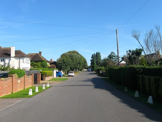
Image: © Simon Carey Taken: 6 Aug 2017
The lane follows an old track that once led southwards from the old village towards Ferring Rife and the sea. It was developed from the 1920s onwards as a means of accessing the newly developed parts of the village next to the sea.
Images are licensed for reuse under creativecommons.org/licenses/by-sa/2.0
Image Location
Latitude
50.809324
Longitude
-0.450212