The former White Hart
Introduction
The photograph on this page of The former White Hart by Gerald England as part of the Geograph project.
The Geograph project started in 2005 with the aim of publishing, organising and preserving representative images for every square kilometre of Great Britain, Ireland and the Isle of Man.

There are currently over 7.5m images from over 14,400 individuals and you can help contribute to the project by visiting https://www.geograph.org.uk
The former White Hart
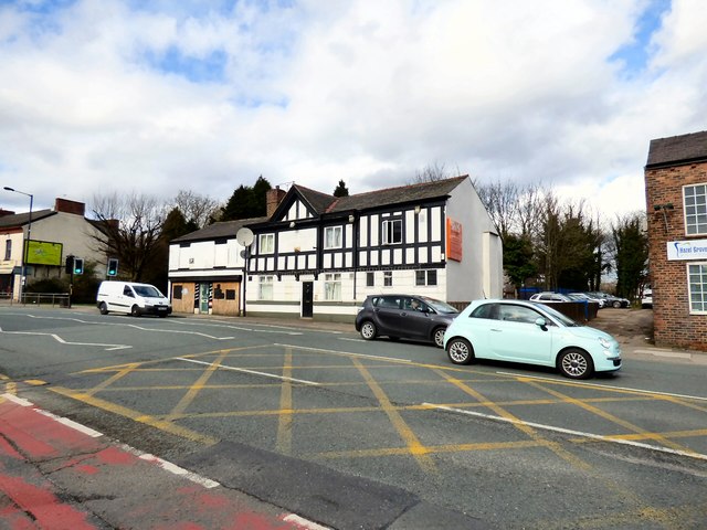
Image: © Gerald England Taken: 14 Mar 2017
The White Hart Image on London Road is one of many Robinsons pubs that have closed over the years.
Images are licensed for reuse under creativecommons.org/licenses/by-sa/2.0
Image Location
Latitude
53.378983
Longitude
-2.118716