Thorpe House From a Distance
Introduction
The photograph on this page of Thorpe House From a Distance by Ian Paterson as part of the Geograph project.
The Geograph project started in 2005 with the aim of publishing, organising and preserving representative images for every square kilometre of Great Britain, Ireland and the Isle of Man.

There are currently over 7.5m images from over 14,400 individuals and you can help contribute to the project by visiting https://www.geograph.org.uk
Thorpe House From a Distance
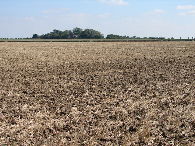
Image: © Ian Paterson Taken: 7 Sep 2007
Taken from the public footpath from Ewerby towards the River Slea.
Images are licensed for reuse under creativecommons.org/licenses/by-sa/2.0
Image Location
Latitude
53.015024
Longitude
-0.315564