Northern end of Streamers Meadows, Honiton
Introduction
The photograph on this page of Northern end of Streamers Meadows, Honiton by Jaggery as part of the Geograph project.
The Geograph project started in 2005 with the aim of publishing, organising and preserving representative images for every square kilometre of Great Britain, Ireland and the Isle of Man.

There are currently over 7.5m images from over 14,400 individuals and you can help contribute to the project by visiting https://www.geograph.org.uk
Northern end of Streamers Meadows, Honiton
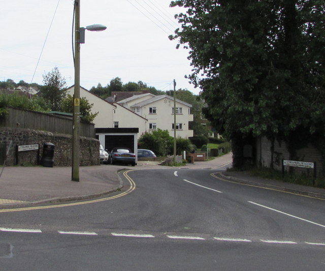
Image: © Jaggery Taken: 1 Aug 2017
The road named Streamers Meadows descends from King Street. Streamers Meadows extends south for 500 metres to Littletown Road.
Images are licensed for reuse under creativecommons.org/licenses/by-sa/2.0
Image Location
Latitude
50.797977
Longitude
-3.190726