Cottage, Church Street, Lopen
Introduction
The photograph on this page of Cottage, Church Street, Lopen by Bill Harrison as part of the Geograph project.
The Geograph project started in 2005 with the aim of publishing, organising and preserving representative images for every square kilometre of Great Britain, Ireland and the Isle of Man.

There are currently over 7.5m images from over 14,400 individuals and you can help contribute to the project by visiting https://www.geograph.org.uk
Cottage, Church Street, Lopen
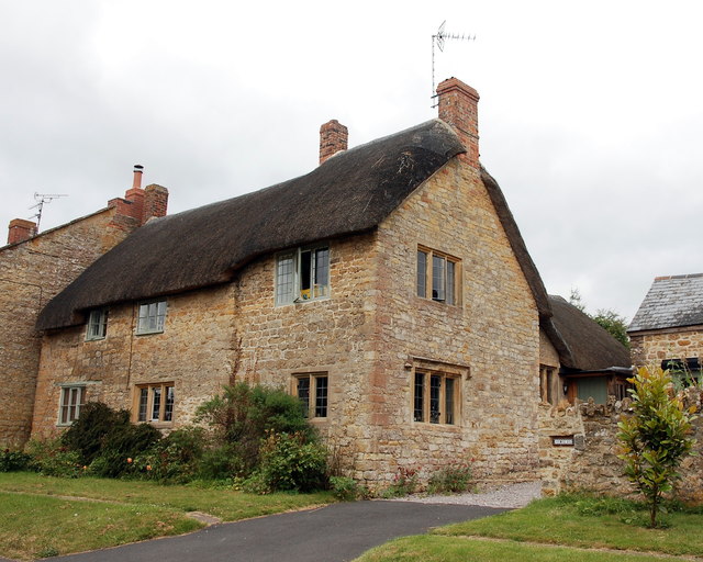
Image: © Bill Harrison Taken: 15 Jul 2016
This 17th Century Grade-II (see: http://www.britishlistedbuildings.co.uk/101307459-the-wilderness-lopen#.WYYQjiaWyAg ) cottage with some fine mullioned widows has the interesting name of the Wilderness, although it looks anything but. At some point it lost its door at the front.
Images are licensed for reuse under creativecommons.org/licenses/by-sa/2.0
Image Location
Latitude
50.926009
Longitude
-2.817504