A684, Wensleydale
Introduction
The photograph on this page of A684, Wensleydale by Richard Webb as part of the Geograph project.
The Geograph project started in 2005 with the aim of publishing, organising and preserving representative images for every square kilometre of Great Britain, Ireland and the Isle of Man.

There are currently over 7.5m images from over 14,400 individuals and you can help contribute to the project by visiting https://www.geograph.org.uk
A684, Wensleydale
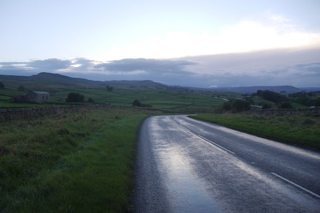
Image: © Richard Webb Taken: 16 Oct 2016
A modernised bit with sweeping bends west of Bainbridge. As the road was used for the Tour de France a few years earlier, there was an unusually good surface.
Images are licensed for reuse under creativecommons.org/licenses/by-sa/2.0
Image Location
Latitude
54.30753
Longitude
-2.111081