Ffaldybrenin
Introduction
The photograph on this page of Ffaldybrenin by Alan Richards as part of the Geograph project.
The Geograph project started in 2005 with the aim of publishing, organising and preserving representative images for every square kilometre of Great Britain, Ireland and the Isle of Man.

There are currently over 7.5m images from over 14,400 individuals and you can help contribute to the project by visiting https://www.geograph.org.uk
Ffaldybrenin
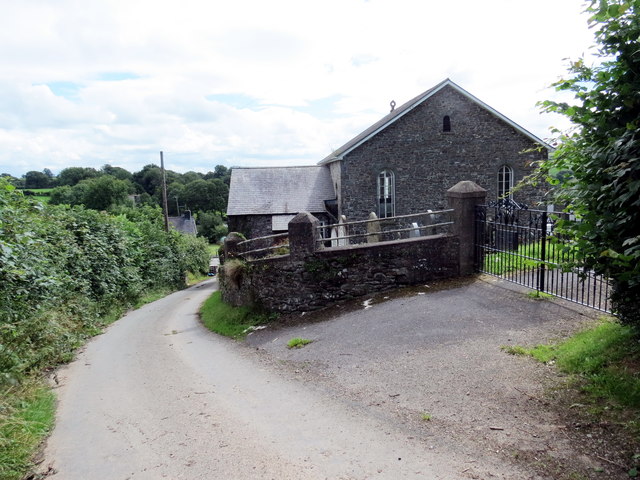
Image: © Alan Richards Taken: 4 Aug 2017
Yn cyrraedd pentre Ffaldybrenin gyda chefn y capel ar y dde. Arriving at the village of Ffaldybrenin (trans. the king's pound) with the rear of the chapel on the right.
Images are licensed for reuse under creativecommons.org/licenses/by-sa/2.0
Image Location
Latitude
52.083013
Longitude
-3.990698