David Hall, South Petherton
Introduction
The photograph on this page of David Hall, South Petherton by Bill Harrison as part of the Geograph project.
The Geograph project started in 2005 with the aim of publishing, organising and preserving representative images for every square kilometre of Great Britain, Ireland and the Isle of Man.

There are currently over 7.5m images from over 14,400 individuals and you can help contribute to the project by visiting https://www.geograph.org.uk
David Hall, South Petherton
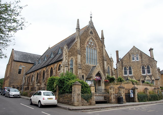
Image: © Bill Harrison Taken: 15 Jul 2016
The former Congregational Church dating from 1863: now the village community hall and arts centre. Grade II listed: http://www.britishlistedbuildings.co.uk/101345893-former-united-reform-church-south-petherton#.WYS0aiaWyAg . The former Sunday School to the right.
Images are licensed for reuse under creativecommons.org/licenses/by-sa/2.0
Image Location
Latitude
50.948386
Longitude
-2.806651