Old School House Court, Honiton
Introduction
The photograph on this page of Old School House Court, Honiton by Jaggery as part of the Geograph project.
The Geograph project started in 2005 with the aim of publishing, organising and preserving representative images for every square kilometre of Great Britain, Ireland and the Isle of Man.

There are currently over 7.5m images from over 14,400 individuals and you can help contribute to the project by visiting https://www.geograph.org.uk
Old School House Court, Honiton
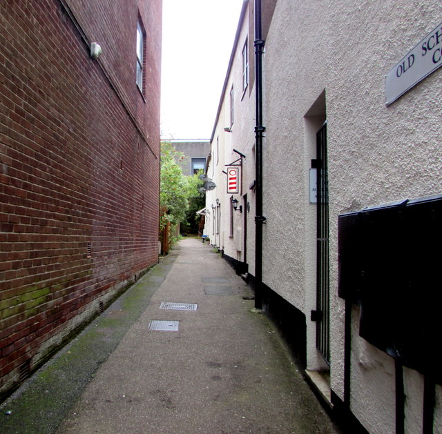
Image: © Jaggery Taken: 1 Aug 2017
Lane on the south side of High Street. The blue plaque http://www.geograph.org.uk/photo/5485700 behind the camera records that the lane formerly led to the dormitories for the boys of Allhallows School.
Images are licensed for reuse under creativecommons.org/licenses/by-sa/2.0
Image Location
Latitude
50.799535
Longitude
-3.187928