Towards Mill Ground Cottages
Introduction
The photograph on this page of Towards Mill Ground Cottages by Derek Harper as part of the Geograph project.
The Geograph project started in 2005 with the aim of publishing, organising and preserving representative images for every square kilometre of Great Britain, Ireland and the Isle of Man.

There are currently over 7.5m images from over 14,400 individuals and you can help contribute to the project by visiting https://www.geograph.org.uk
Towards Mill Ground Cottages
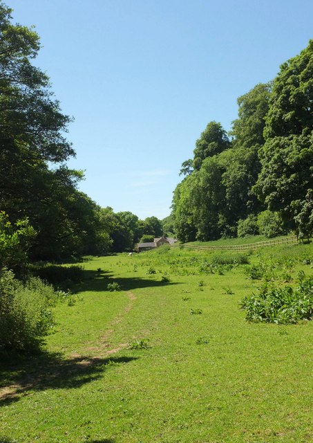
Image: © Derek Harper Taken: 26 May 2017
The Hardy Way, following footpath W21 58, runs along this meadow between the River Brit on the left and the belt of woodland named The Nursery on the right, and past the cottages Image in the distance.
Images are licensed for reuse under creativecommons.org/licenses/by-sa/2.0
Image Location
Latitude
50.80466
Longitude
-2.742581