Former landfill site (Duranhill South Sidings)
Introduction
The photograph on this page of Former landfill site (Duranhill South Sidings) by Rose and Trev Clough as part of the Geograph project.
The Geograph project started in 2005 with the aim of publishing, organising and preserving representative images for every square kilometre of Great Britain, Ireland and the Isle of Man.

There are currently over 7.5m images from over 14,400 individuals and you can help contribute to the project by visiting https://www.geograph.org.uk
Former landfill site (Duranhill South Sidings)
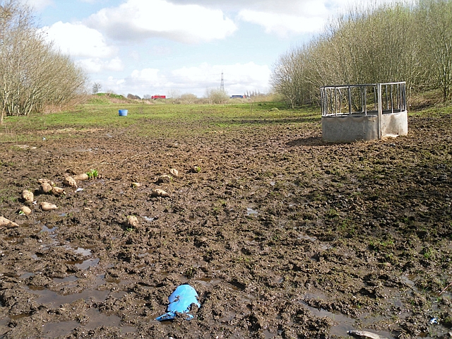
Image: © Rose and Trev Clough Taken: 31 Mar 2017
Situated between the Newcastle-Carlisle and Settle-Carlisle railways, accessed by a track Image . Lorries on the M6 are just visible in the distance. This bit of land was previously used for railway sidings then waste disposal, now restored for animal grazing. See also Image .
Images are licensed for reuse under creativecommons.org/licenses/by-sa/2.0
Image Location
Latitude
54.886551
Longitude
-2.892721