Banwell Plain from the air
Introduction
The photograph on this page of Banwell Plain from the air by Derek Harper as part of the Geograph project.
The Geograph project started in 2005 with the aim of publishing, organising and preserving representative images for every square kilometre of Great Britain, Ireland and the Isle of Man.

There are currently over 7.5m images from over 14,400 individuals and you can help contribute to the project by visiting https://www.geograph.org.uk
Banwell Plain from the air
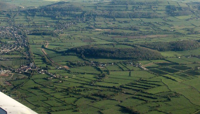
Image: © Derek Harper Taken: 22 Apr 2017
The hill, topped by Banwell Camp, an Iron Age hillfort, covers the corners of four square. The "large multivallate hillfort ... is the western example of three hillforts occupying outcrops of carboniferous limestone on the north-western fringe of the Mendip Hills" https://www.historicengland.org.uk/listing/the-list/list-entry/1008031 . On the left can be seen the line of the former Strawberry Line passing Sandford. At ST405596, among the darker fields on the right, a new solar farm symbol appears on the 1:25000 map, the first time I've noticed it.
Images are licensed for reuse under creativecommons.org/licenses/by-sa/2.0
Image Location
Latitude
51.327913
Longitude
-2.849606