Glencroft Open Space
Introduction
The photograph on this page of Glencroft Open Space by Robin Webster as part of the Geograph project.
The Geograph project started in 2005 with the aim of publishing, organising and preserving representative images for every square kilometre of Great Britain, Ireland and the Isle of Man.

There are currently over 7.5m images from over 14,400 individuals and you can help contribute to the project by visiting https://www.geograph.org.uk
Glencroft Open Space
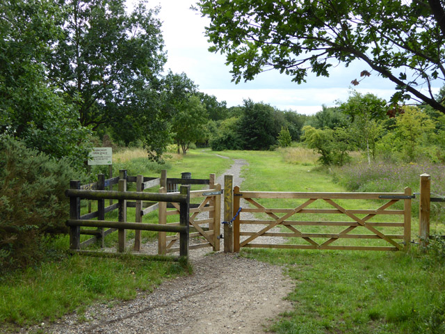
Image: © Robin Webster Taken: 30 Jul 2017
A Hawkwell Parish Council amenity, owned by the Rochford District Council and with a 125 year lease to the parish council at a peppercorn rent. The mysteries of local government! It was formerly Glencroft Nurseries land, transferred to the council as a condition of granting planning permission for housing development on the rest of the nursery site.
Images are licensed for reuse under creativecommons.org/licenses/by-sa/2.0
Image Location
Latitude
51.601686
Longitude
0.669189