Halfway Houses: Queenborough Road
Introduction
The photograph on this page of Halfway Houses: Queenborough Road by Stefan Czapski as part of the Geograph project.
The Geograph project started in 2005 with the aim of publishing, organising and preserving representative images for every square kilometre of Great Britain, Ireland and the Isle of Man.

There are currently over 7.5m images from over 14,400 individuals and you can help contribute to the project by visiting https://www.geograph.org.uk
Halfway Houses: Queenborough Road
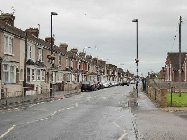
Image: © Stefan Czapski Taken: 29 Jul 2017
Terraced housing in one of the more populated areas of Sheppey. 'Halfway' - I suppose - because this was once mid-way between Minster and Queenborough. The name makes less sense now that Minster has expanded westward.
Images are licensed for reuse under creativecommons.org/licenses/by-sa/2.0
Image Location
Latitude
51.421626
Longitude
0.774049