Lane near Boreston
Introduction
The photograph on this page of Lane near Boreston by Derek Harper as part of the Geograph project.
The Geograph project started in 2005 with the aim of publishing, organising and preserving representative images for every square kilometre of Great Britain, Ireland and the Isle of Man.

There are currently over 7.5m images from over 14,400 individuals and you can help contribute to the project by visiting https://www.geograph.org.uk
Lane near Boreston
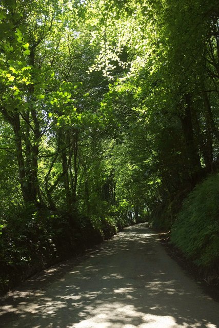
Image: © Derek Harper Taken: 24 Jul 2017
Looking in the opposite direction along the lane shown in Image], from the same spot. The wood is Crowdown Copse. Just the first 40 metres from the camera are in this square.
Images are licensed for reuse under creativecommons.org/licenses/by-sa/2.0
Image Location
Latitude
50.372976
Longitude
-3.732867