Worcester and Birmingham Canal
Introduction
The photograph on this page of Worcester and Birmingham Canal by Jonathan Billinger as part of the Geograph project.
The Geograph project started in 2005 with the aim of publishing, organising and preserving representative images for every square kilometre of Great Britain, Ireland and the Isle of Man.

There are currently over 7.5m images from over 14,400 individuals and you can help contribute to the project by visiting https://www.geograph.org.uk
Worcester and Birmingham Canal
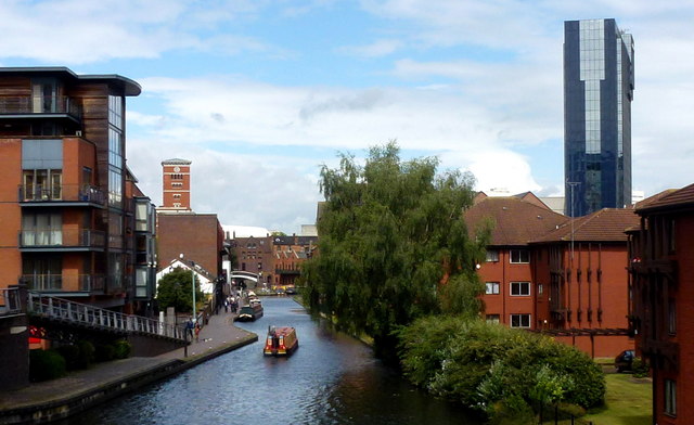
Image: © Jonathan Billinger Taken: 27 Jul 2017
Photo from the right-angle Salvage Turn at the back of The Mailbox, looking north-west towards Brindley Place and the NIA.
Images are licensed for reuse under creativecommons.org/licenses/by-sa/2.0
Image Location
Latitude
52.475854
Longitude
-1.907498