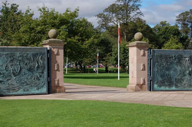
Flood gates
Introduction
The photograph on this page of Flood gates by Paul McIlroy as part of the Geograph project.
The Geograph project started in 2005 with the aim of publishing, organising and preserving representative images for every square kilometre of Great Britain, Ireland and the Isle of Man.
There are currently over 7.5m images from over 14,400 individuals and you can help contribute to the project by visiting https://www.geograph.org.uk

Image: © Paul McIlroy Taken: 6 Sep 2007
Perth is an area with a long history of severe flooding, most recently in 1993 when whole housing estates had to be evacuated. To reduce the chances of the Tay bursting its banks again, a complex flood prevention scheme was built at a cost of £25 million. The system consisted of a series of embankments, walls and gates. The gates in this picture are at the North Inch.

