The M4 by Membury Services
Introduction
The photograph on this page of The M4 by Membury Services by David Howard as part of the Geograph project.
The Geograph project started in 2005 with the aim of publishing, organising and preserving representative images for every square kilometre of Great Britain, Ireland and the Isle of Man.

There are currently over 7.5m images from over 14,400 individuals and you can help contribute to the project by visiting https://www.geograph.org.uk
The M4 by Membury Services
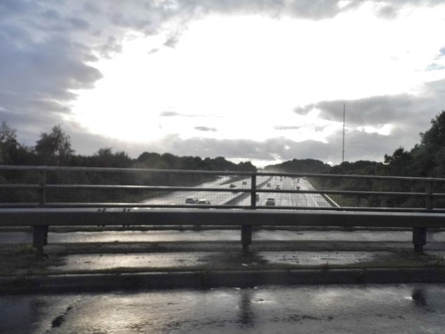
Image: © David Howard Taken: 30 Jul 2017
It was pouring with rain as it did for around an hour around the area
Images are licensed for reuse under creativecommons.org/licenses/by-sa/2.0
Image Location
Latitude
51.479401
Longitude
-1.551689