River Bulbourne enters Grand Union Canal
Introduction
The photograph on this page of River Bulbourne enters Grand Union Canal by Robin Webster as part of the Geograph project.
The Geograph project started in 2005 with the aim of publishing, organising and preserving representative images for every square kilometre of Great Britain, Ireland and the Isle of Man.

There are currently over 7.5m images from over 14,400 individuals and you can help contribute to the project by visiting https://www.geograph.org.uk
River Bulbourne enters Grand Union Canal
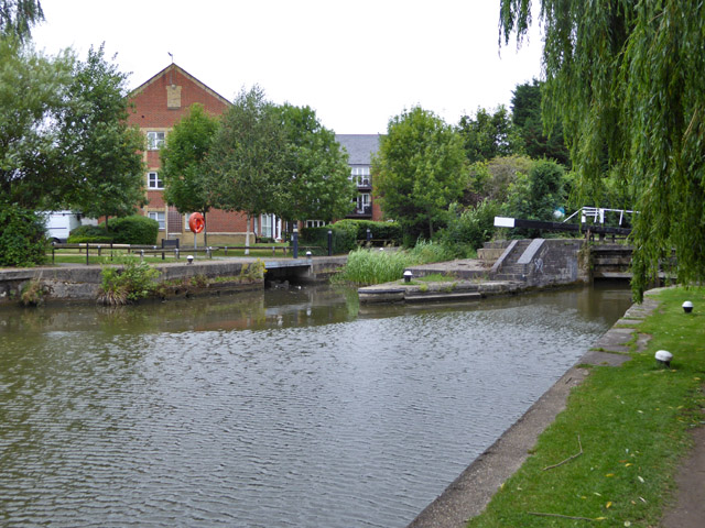
Image: © Robin Webster Taken: 28 Jul 2017
At least in principle it does, via the vegetation choked cut parallel to the lock. It seems to carry little or no flow now, although the watercourse is intact through the town and more or less water filled. It once was also the lengthy tail race of Upper Mill. I cannot account for the opening under the path along the bank, it may be just local drainage. It does not seem to be flowing either. There is no trace on old maps of any drainage to this point.
Images are licensed for reuse under creativecommons.org/licenses/by-sa/2.0
Image Location
Latitude
51.758937
Longitude
-0.556437