At the bottom of Lancashire Hill
Introduction
The photograph on this page of At the bottom of Lancashire Hill by Gerald England as part of the Geograph project.
The Geograph project started in 2005 with the aim of publishing, organising and preserving representative images for every square kilometre of Great Britain, Ireland and the Isle of Man.

There are currently over 7.5m images from over 14,400 individuals and you can help contribute to the project by visiting https://www.geograph.org.uk
At the bottom of Lancashire Hill
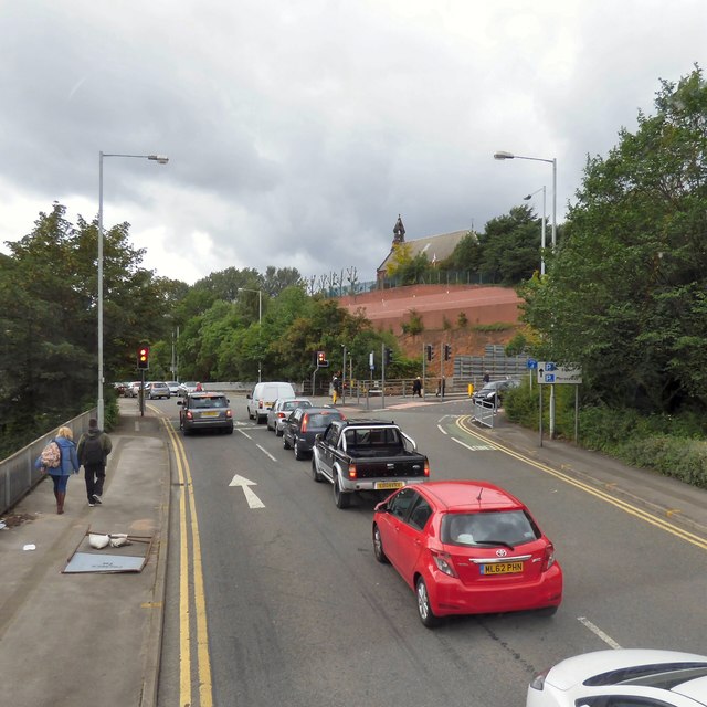
Image: © Gerald England Taken: 29 Jul 2017
Traffic on Knightsbridge hoping to travel forward on to Great Egerton Street (A560) is blocked by traffic waiting to turn right up Lancashire Hill (B6167) not pulling over far enough to allow buses to go up the inside lane.
Images are licensed for reuse under creativecommons.org/licenses/by-sa/2.0
Image Location
Latitude
53.413632
Longitude
-2.158982