St Patrick's Road, Raholp (July 2017)
Introduction
The photograph on this page of St Patrick's Road, Raholp (July 2017) by Albert Bridge as part of the Geograph project.
The Geograph project started in 2005 with the aim of publishing, organising and preserving representative images for every square kilometre of Great Britain, Ireland and the Isle of Man.

There are currently over 7.5m images from over 14,400 individuals and you can help contribute to the project by visiting https://www.geograph.org.uk
St Patrick's Road, Raholp (July 2017)
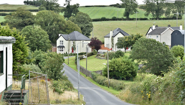
Image: © Albert Bridge Taken: 29 Jul 2017
The minor St Patrick’s Road Image, looking in the direction of Strangford, as it passes through Raholp village Image The remains of the former Slaney Inn Image are on the left.
Images are licensed for reuse under creativecommons.org/licenses/by-sa/2.0
Image Location
Latitude
54.352527
Longitude
-5.63936