Bairnsdale Steading
Introduction
The photograph on this page of Bairnsdale Steading by Andrew Wood as part of the Geograph project.
The Geograph project started in 2005 with the aim of publishing, organising and preserving representative images for every square kilometre of Great Britain, Ireland and the Isle of Man.

There are currently over 7.5m images from over 14,400 individuals and you can help contribute to the project by visiting https://www.geograph.org.uk
Bairnsdale Steading
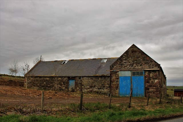
Image: © Andrew Wood Taken: 28 Apr 2017
Slightly careworn, but with the lovely texture of a north-east steading, Bairnsdale is typical of so many that have been converted.
Images are licensed for reuse under creativecommons.org/licenses/by-sa/2.0
Image Location
Latitude
57.433302
Longitude
-2.377722