Woodland regeneration at Low Burnhall
Introduction
The photograph on this page of Woodland regeneration at Low Burnhall by Trevor Littlewood as part of the Geograph project.
The Geograph project started in 2005 with the aim of publishing, organising and preserving representative images for every square kilometre of Great Britain, Ireland and the Isle of Man.

There are currently over 7.5m images from over 14,400 individuals and you can help contribute to the project by visiting https://www.geograph.org.uk
Woodland regeneration at Low Burnhall
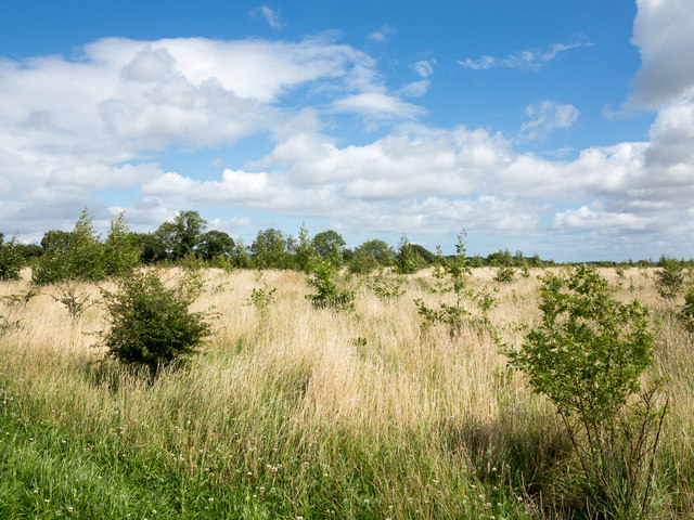
Image: © Trevor Littlewood Taken: 28 Jul 2017
Low Burnhall is an area of land south of Durham city between the A167 and the River Wear; it's owned by the Woodland Trust.
Images are licensed for reuse under creativecommons.org/licenses/by-sa/2.0
Image Location
Latitude
54.752181
Longitude
-1.587936