Monks Brook pub name sign, Chandler's Ford
Introduction
The photograph on this page of Monks Brook pub name sign, Chandler's Ford by Jaggery as part of the Geograph project.
The Geograph project started in 2005 with the aim of publishing, organising and preserving representative images for every square kilometre of Great Britain, Ireland and the Isle of Man.

There are currently over 7.5m images from over 14,400 individuals and you can help contribute to the project by visiting https://www.geograph.org.uk
Monks Brook pub name sign, Chandler's Ford
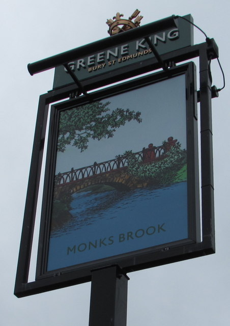
Image: © Jaggery Taken: 26 Jul 2017
On the corner of Hursley Road and Park Road, at the southern edge of this http://www.geograph.org.uk/photo/5478042 Greene King pub.
Images are licensed for reuse under creativecommons.org/licenses/by-sa/2.0
Image Location
Latitude
50.984535
Longitude
-1.384803