Site of demolished Aitkenbar Primary School
Introduction
The photograph on this page of Site of demolished Aitkenbar Primary School by Lairich Rig as part of the Geograph project.
The Geograph project started in 2005 with the aim of publishing, organising and preserving representative images for every square kilometre of Great Britain, Ireland and the Isle of Man.

There are currently over 7.5m images from over 14,400 individuals and you can help contribute to the project by visiting https://www.geograph.org.uk
Site of demolished Aitkenbar Primary School
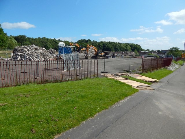
Image: © Lairich Rig Taken: 17 Jul 2017
For a view of the school before it was demolished, see Image A crossing (just out of shot to the right) on adjacent Whiteford Avenue was known for its dancing lollipop man, often described as "Scotland's happiest lollipop man": Image For other views of the former school's site, taken on the same day as the present picture, see Image and Image For the joint campus that replaced this and other schools, see Image / Image / Image
Images are licensed for reuse under creativecommons.org/licenses/by-sa/2.0
Image Location
Latitude
55.954365
Longitude
-4.546124