Shawstead Road, near Luton
Introduction
The photograph on this page of Shawstead Road, near Luton by Chris Whippet as part of the Geograph project.
The Geograph project started in 2005 with the aim of publishing, organising and preserving representative images for every square kilometre of Great Britain, Ireland and the Isle of Man.

There are currently over 7.5m images from over 14,400 individuals and you can help contribute to the project by visiting https://www.geograph.org.uk
Shawstead Road, near Luton
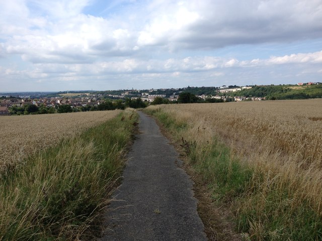
Image: © Chris Whippet Taken: 25 Jul 2017
This stretch of road used to lead from the junction of Shawstead Road and Lordswood Lane down to East Hill in Luton before the construction of North Dane Way in the early 1970s rendered it obsolete.
Images are licensed for reuse under creativecommons.org/licenses/by-sa/2.0
Image Location
Latitude
51.360388
Longitude
0.547965