Track to fishing lake
Introduction
The photograph on this page of Track to fishing lake by Robin Webster as part of the Geograph project.
The Geograph project started in 2005 with the aim of publishing, organising and preserving representative images for every square kilometre of Great Britain, Ireland and the Isle of Man.

There are currently over 7.5m images from over 14,400 individuals and you can help contribute to the project by visiting https://www.geograph.org.uk
Track to fishing lake
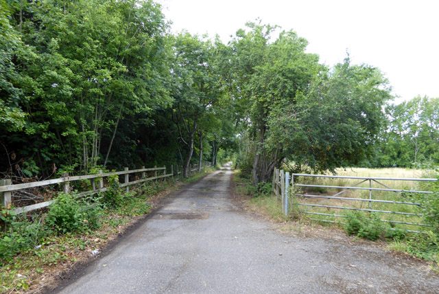
Image: © Robin Webster Taken: 14 Jul 2017
Running parallel with the M25 to the left, with the lake in the angle of the M25/A30 junction. The field on the right has public access, and seems to be an isolated part of Staines Moor.
Images are licensed for reuse under creativecommons.org/licenses/by-sa/2.0
Image Location
Latitude
51.441732
Longitude
-0.530056