Shankill Road, West Belfast
Introduction
The photograph on this page of Shankill Road, West Belfast by David Dixon as part of the Geograph project.
The Geograph project started in 2005 with the aim of publishing, organising and preserving representative images for every square kilometre of Great Britain, Ireland and the Isle of Man.

There are currently over 7.5m images from over 14,400 individuals and you can help contribute to the project by visiting https://www.geograph.org.uk
Shankill Road, West Belfast
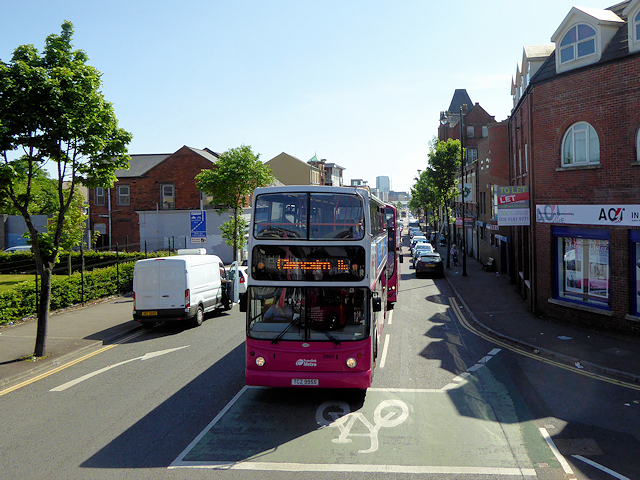
Image: © David Dixon Taken: 26 May 2017
The Shankill Road (from Irish: Seanchill, meaning "old church") is one of the main roads leading through west Belfast. It stretches westwards for about 1½ miles from central Belfast running through the working-class, predominantly loyalist, area known as the Shankill which was a centre for loyalist paramilitarism during the Troubles https://en.wikipedia.org/wiki/The_Troubles in the late twentieth century. The road is lined, to an extent, by shops. The residents live in the many streets which branch off the main road.
Images are licensed for reuse under creativecommons.org/licenses/by-sa/2.0
Image Location
Latitude
54.603983
Longitude
-5.946605