Junction of School Lane and St James, Quedgeley
Introduction
The photograph on this page of Junction of School Lane and St James, Quedgeley by Jaggery as part of the Geograph project.
The Geograph project started in 2005 with the aim of publishing, organising and preserving representative images for every square kilometre of Great Britain, Ireland and the Isle of Man.

There are currently over 7.5m images from over 14,400 individuals and you can help contribute to the project by visiting https://www.geograph.org.uk
Junction of School Lane and St James, Quedgeley
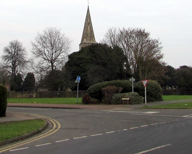
Image: © Jaggery Taken: 22 Jan 2017
The southern end of the road named St James viewed from School Lane. The spire of the Parish Church of St James http://www.geograph.org.uk/photo/5474370 is in the background.
Images are licensed for reuse under creativecommons.org/licenses/by-sa/2.0
Image Location
Latitude
51.825182
Longitude
-2.281586