Along St James, Quedgeley
Introduction
The photograph on this page of Along St James, Quedgeley by Jaggery as part of the Geograph project.
The Geograph project started in 2005 with the aim of publishing, organising and preserving representative images for every square kilometre of Great Britain, Ireland and the Isle of Man.

There are currently over 7.5m images from over 14,400 individuals and you can help contribute to the project by visiting https://www.geograph.org.uk
Along St James, Quedgeley
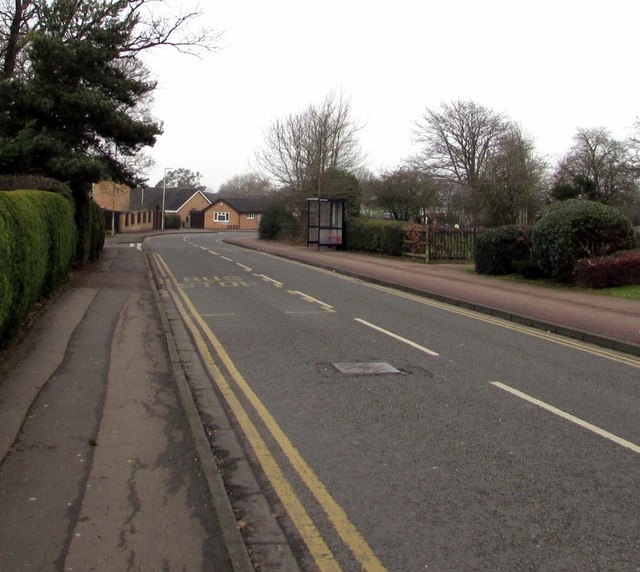
Image: © Jaggery Taken: 22 Jan 2017
From the corner of School Lane along the road named St James towards a bend in the road beyond the left turn into The Moat. http://www.geograph.org.uk/photo/5474265
Images are licensed for reuse under creativecommons.org/licenses/by-sa/2.0
Image Location
Latitude
51.82554
Longitude
-2.282168