Path to St James Church, Quedgeley
Introduction
The photograph on this page of Path to St James Church, Quedgeley by Jaggery as part of the Geograph project.
The Geograph project started in 2005 with the aim of publishing, organising and preserving representative images for every square kilometre of Great Britain, Ireland and the Isle of Man.

There are currently over 7.5m images from over 14,400 individuals and you can help contribute to the project by visiting https://www.geograph.org.uk
Path to St James Church, Quedgeley
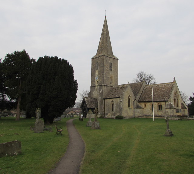
Image: © Jaggery Taken: 22 Jan 2017
From School Lane to the Parish Church of St James, part of the Church of England Diocese of Gloucester. The 14th century church underwent major rebuilding and restoration in the 19th century. The building is Grade II (star) listed.
Images are licensed for reuse under creativecommons.org/licenses/by-sa/2.0
Image Location
Latitude
51.825812
Longitude
-2.281299