Slate field enclosure
Introduction
The photograph on this page of Slate field enclosure by David Meredith as part of the Geograph project.
The Geograph project started in 2005 with the aim of publishing, organising and preserving representative images for every square kilometre of Great Britain, Ireland and the Isle of Man.

There are currently over 7.5m images from over 14,400 individuals and you can help contribute to the project by visiting https://www.geograph.org.uk
Slate field enclosure
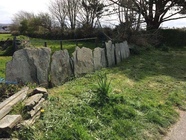
Image: © David Meredith Taken: 13 Apr 2017
The manor of Delabole (Deliou) was recorded in the Domesday Book (1086) Delabole Slate, probably the finest slate available, has been used as a building material for over 600 years, and has been quarried since the early 17th century.
Images are licensed for reuse under creativecommons.org/licenses/by-sa/2.0
Image Location
Latitude
50.624948
Longitude
-4.72974