The Ball
Introduction
The photograph on this page of The Ball by Ken Ballinger as part of the Geograph project.
The Geograph project started in 2005 with the aim of publishing, organising and preserving representative images for every square kilometre of Great Britain, Ireland and the Isle of Man.

There are currently over 7.5m images from over 14,400 individuals and you can help contribute to the project by visiting https://www.geograph.org.uk
The Ball
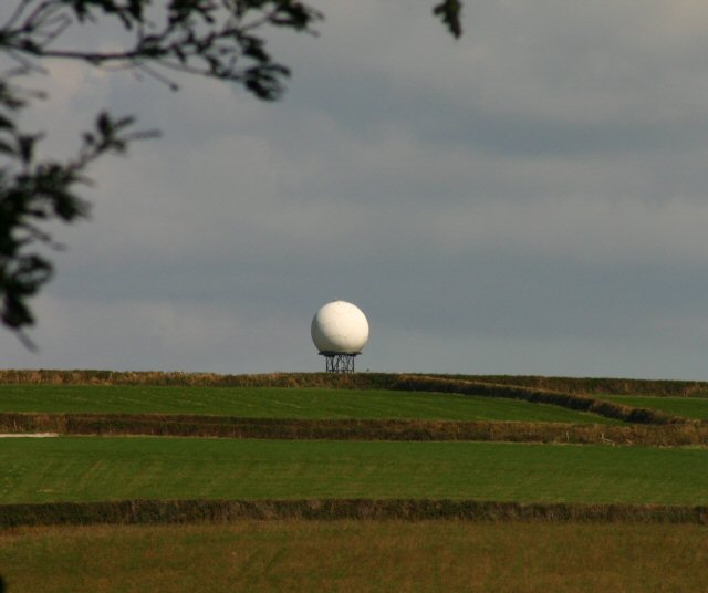
Image: © Ken Ballinger Taken: 16 Sep 2005
View from Penrose Estate over The Loe towards Degibna and Goonhusband. The radar dome belongs to Culdrose Airfield
Images are licensed for reuse under creativecommons.org/licenses/by-sa/2.0
Image Location


Leaflet Map data © OpenStreetMap
Latitude
50.087081
Longitude
-5.270613